Here it is, my final day on the road. Knowing that I would be home tonight, I once again skipped the shared campground shower. Just in case you were wondering, I have brushed my teeth every day, and did again today because that’s one thing I can’t go without. I made some coffee on my borrowed camp stove, just like most mornings. Unfortunately today I was too eager to get going and didn’t take the time to find my grabbing-hot-things-rag. I tried using a paper towel to remove the scolding cup from the stove and could feel the interior of my hand taking on the burn mark of the bent metal handle. It was all I could do to gently place the coffee cup down without shouting expletives at the top of my lungs waking the entire campground. I didn’t have any burn ointment, but I did have some arnica gel, so I applied some and breathed on it. Not a bad substitution. I knew the pain was going to go on for some time, so I threw a band aid on it, and got moving.
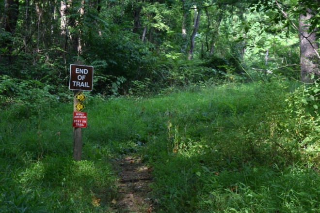
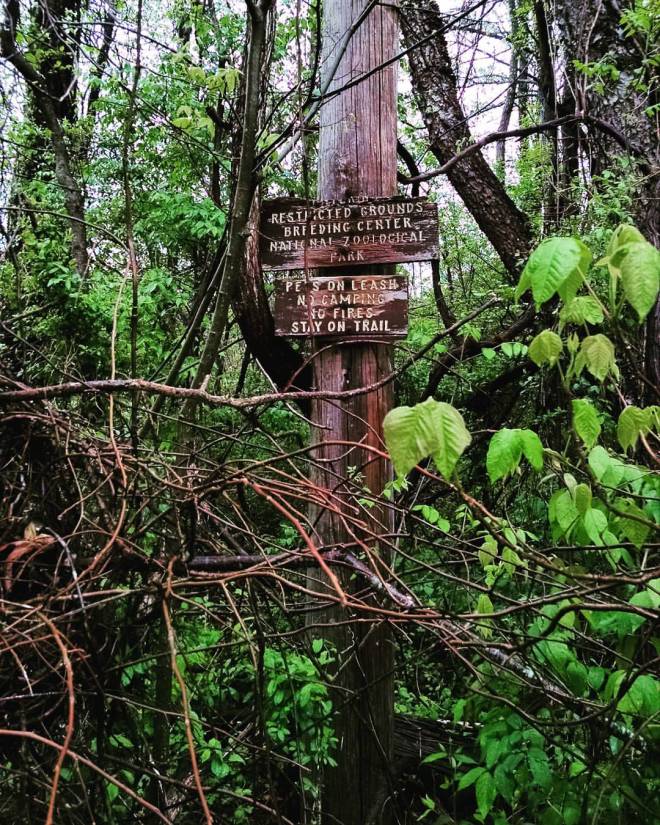
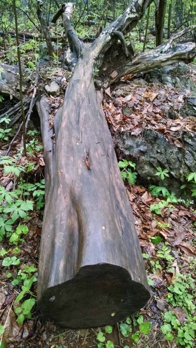
I took a look at the trail map for the Carter Cave Park while sipping my still hot coffee and cursing my stupidity. This place offers hiking, climbing, repelling, and cave tours. After some contemplation about whether or not I should bring my climbing shoes, I settled on a short hike past some caves. I figured if the climbing looked amazing, I would get my shoes after the hike, and go back for a climb. It was early and the sun had yet to come up over the ridge, so most of my hike was in the shadows. I had mentally prepared myself for more spider combat, but was pleasantly surprised to only find a few. Most of the caves I passed were blocked with logs and rocks and included signage steering hikers away because of the sick bats. I had no intention of spelunking this morning so that was fine with me.

Good morning deer

My fingers were gravitating toward these crevices

Welcome Center

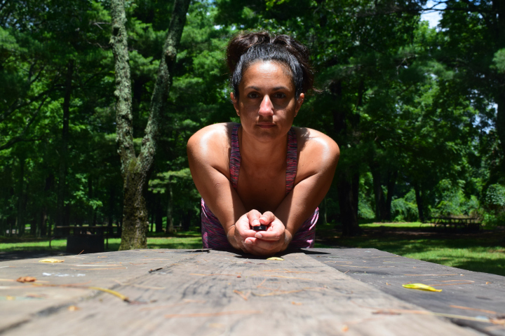
Post hike and same shirt as yesterday. Time for a partial costume change.
Back at the car I made the choice to start driving rather than go back for a climb. The hike was only a mile and a half, so I decided I would find something else along the way, and piece the two together to be hike 34 of my 52 Hike Challenge. I drove to the main road where I again had a signal, and was able to see how far the final leg of my journey would be. Only 5 and a half hours today. Nice. I would definitely have time for adventure.
I stopped in West Huntington, WV for more coffee. Don’t judge. Those Starbucks instant coffees only go so far. First, let me say that Huntington is adorable. I had never been through here before and had no idea what it would be like. It definitely has industrial roots, and seems to be going through a rejuvenation. Yelp took me to an old rail depot that has been turned into a shopping center. I followed the signs for coffee, and found myself in a place called Butter It Up. This place is all about grass fed natural dairy products, and will make you any version of their butter mixed coffee drinks. With a physical coming up I chose not to adventure into the buttered coffee craze. I’ll take mine black, thanks. I also got one of their homemade power bars. It had pumpkin seeds and dates and a lot of the other things you might find in trail mix. Looking like all the ingredients had been chewed up, spit out and formed into a bar shape, I like to call this baby bird food. It was healthy and delicious. No joke.

Shops

Butter It Up

Who is this Diamond Teeth Mary and how did she get her own Way?
Now I had a choice to make. Would I continue on 64 West, and connect to 81 North (I hate 81) or would I snake up the backside of West Virginia and cut across through Davis and Wardensville, a trip I’ve done before. With only a 6 minute difference this was a tough choice. Starring at the names on the map, I decided to take 64. I had never been across the bottom of WV and it was already proving to be fun. What a beautiful drive! Charleston is beautiful. Online photos can’t even come close to showing what this place really looks and feels like to drive through. That’s another must return destination.
There were a few tolls along this drive, but nothing like what I paid in Pennsylvania or Ohio. As I approached the need to fill my tank, I started seeing signs for Tamarack. What could that be? I decided to investigate. Envisioning the roadside lean-to craft stands of the Navajo people, I was not prepared for this huge modern structure filled with works of West Virginia fine artists and craftspersons. I wasn’t yet hungry, so no food was purchased, though since having been I have heard many good things about the food. I did however purchase a mug made by Lambros Pottery based in Short Creek, WV, and I took lots of photos.

Wolf in sheep’s clothing

Scultpure Detail

Scultpure Detail

My New Mug
I was getting some looks. Something tells me I either wasn’t smelling pretty or just wasn’t dressed appropriately. Whatever it was, I could tell I needed to get back to my journey and leave the poor noses of West Virginia alone to shop. So back in the car I went to continue my drive. My next stop was the New River Gorge Grandview. Having so idea what I was about to see, I got out of the car, walked to the overlook and was instantly impressed. Wow! After snapping some photos I decided that this would be my second hike. I walked the rim, then climbed down a bit to see what there was to see. If there were no trees, this would resemble a gray rock Grand Canyon. What a beautiful place. With a little over a mile here and a mile and half in Kentucky this morning, I have now completed Hike 34 (or is it 35?) of the 52 hike challenge.
I had decided this morning that I was going to to try to go see Natural Bridge outside of Lexington, so that would be my next stop. I drove and drove while listening to a Radiolab about Utzi, another ancient human, and life. If you go to this link you can download a 3d scan of the Taung child skull and print your own version! Yes, I am still obsessed with 3d printing, and this episode of Radiolab is outstanding.
I eventually arrived in Lexington feeling a little peckish. I stopped at a 7/11 for a snack pack of nuts. The young man behind the counter complimented my dress. Did I forget to mention that I had yet another costume change. In the parking lot of the New River Gorge I put on my pink hiking dress. I figured if I didn’t smell good, at least I could try to look good. It must have been working. I told him it was my hiking dress from TJ Maxx. He asked if I had hiked the Appalachian Trail. I said I lived close and hiked sections of if all the time, but hadn’t done the whole thing. I asked if he had he. He said yes, and he had also done the nearby suicide trail and had been the only person to ever hear the voices going in and coming out AND live to tell about it. OMG, this was the guy I had to worry about my entire trip, and I am just now meeting him on my last day in my home state? I gave a polite chuckle, congratulated him on his successful hike and scooted out of there as quickly as possible. Yikes!
Hoping that somehow the Natural Bridge would be affiliated with a state or national park, I drove the 30 minutes over there. Unfortunately it is privately owned, and it is $20 to enter. I stepped into their historic building turned souvenir shop to research their discounts. They offer all kinds of discounts, like AAA and student prices, but I just couldn’t fathom supporting a project that was disguising history for profit? I got back in my car, and texted a friend to ask what her favorite Lexington restaurant was. My appetite was ready for a meal. She offered a couple suggestions, but warned that she wasn’t really sure, and gave a big thumbs up to something in Staunton about 40 minutes away. Because two of the places she suggested looked like places I was way underdressed for, I chose The Palms in Lexington. The hostess sat me immediately. I ordered the sea bass, and was pretty excited about my choice. When it arrived, it looked great. I dug in. The fish and avocado were great, but the rice underneath was still cold. I am not one to send back food, mostly because I don’t want to know what will be done to it while it’s out of my line of site. So I ate what I could while texting my friend about my dining experience.

Lexington, VA

Sea Bass at The Palms
She told me that they were grilling and had made way too much food. Her home was on my route home, and she was doing her best to convince me to stop by for my last hurrah. I warned her that they may have to throw me in the river because I hadn’t bathed in a while. She assured me they would. So Woodstock became my last stop. Even though I wasn’t hungry, I couldn’t help but indulge in the chicken, corn on the cob, string beans and fruit salad. Dang! That was good. The perfect end to my trip.

Notice the grill smoke coming from the back of the left side of the house.

Oh Shenandoah
Full and happy, I got into Ethel the Element one more time to finish the 45 minutes home. It was dark when I pulled into my driveway. Everything looked to be in order. No trees were resting on my roof. The lawn looked to be freshly trimmed, and the porch swept thanks to my friendly house and yard caretakers. 24 days, 17 states, 4 hotels, 10 campsites, and several friend visits later, I was home. I turned the water heater back to normal from vacation mode, peeled the bandaid off the only injury I suffered while gone (the burn from this morning), and took a shower. Tomorrow I will attempt to unpack while simultaneously packing for my next adventure, my brother’s Jamaican destination wedding.